All work
Spatial Statistics · California
Spatial Temperature Analysis
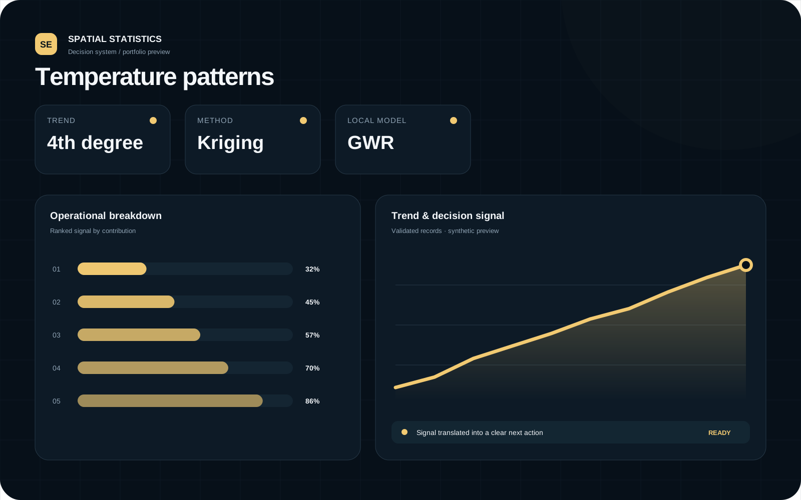
Studied spatial dependency and temperature variation using autocorrelation, trend surfaces, kriging and geographically weighted regression.
Why this matters
Demonstrates geographic reasoning, interpolation and local-model interpretation.
The question
Problem
Identify spatial temperature patterns, estimate values at unmeasured locations and examine geographic variation in relationships.
The work
Approach
- 01
Measured spatial autocorrelation.
- 02
Compared trend-surface models using information criteria.
- 03
Selected a variogram and generated kriging prediction and uncertainty surfaces.
- 04
Applied geographically weighted regression for local effects.
Verified evidence
What the analysis surfaced
Selected trend degree
Interpolation method
Local relationship model
The decision
Recommended action
- Use denser monitoring in high-variance areas before high-stakes local decisions.
Capabilities demonstrated
Spatial autocorrelationInterpolationLocal regressionMapping
Tools
RMoran's IKrigingVariogramsGWR
Limits & responsible use
- Interpolation uncertainty increases where observations are sparse.